


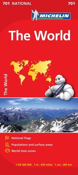
The World Michelin Map is perfect for route planning. It has excellent road detail and classification, and clear regions topography. Included in this map are national flags, population and surface areas and world time zones. The North Pole and the South Pole are shown as insets on this map. Main roads are well classified, as well as international boundaries, capitol and major cities as well as transcontinental railway systems. The map also features a reasonably comprehensive climate chart giving min and max temperatures and average monthly rainfall for major world cities. Also shown are mountains and ocean depths in certain areas.
Love this? Share it around!
ISBN:
9782067170391
Format:
Sheet map, folded
Dimensions:
25cm x 11cm
RRP:
$19.99
ABOUT THE AUTHOR
Michelin
Related Titles
-
GuidesBali Pocket PrecinctsAlison Pace
-
GuidesMindfulness Travel JapanSteve Wide & Michelle Mackintosh
-
Guides, Lifestyle, MapsUltimate Road Trips: Aotearoa New ZealandBrett Atkinson
-
Guides, MapsBudget Travel AustraliaRhyanna Smedley
-
GuidesAsian Girls are Going PlacesMichelle Law
-
GuidesVantasticKate Ulman